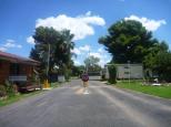
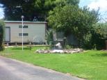
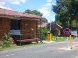
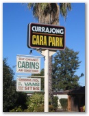
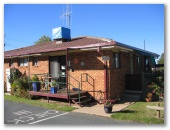
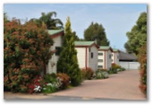
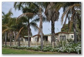
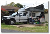
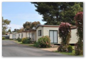
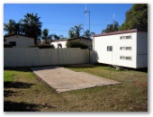
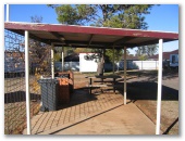
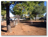
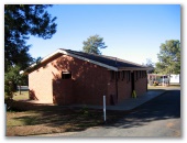
Currajong Cara Park - Historical Photos 2006 - Parkes NSW

Photos on this page were taken in June 2006 and are retained for historical purposes. Click here to see more recent photos of the park.
Rotate the Google Street View image below to see the location of the park. You can see street view in full screen by clicking the icon in the top right hand corner. Satellite view will also enable you to see the park within the context of the town. The green arrow marks the exact location of the site.
View Larger Map
REGION: > NSW > Regional NSW > Central West Slopes > Parkes
Contact and Location
Currajong Cara Park - Historical Photos 2006
Newell Hwy - W
Parkes NSW 2870
P: 02 6862 3400
GPS:-33.122233,148.173683
GPS:S33 07 20,E148 10 25
GPS:S33 07.334,E148 10.421
Newell Hwy - W
Parkes NSW 2870
P: 02 6862 3400
GPS:-33.122233,148.173683
GPS:S33 07 20,E148 10 25
GPS:S33 07.334,E148 10.421
Photos contributed by our users